
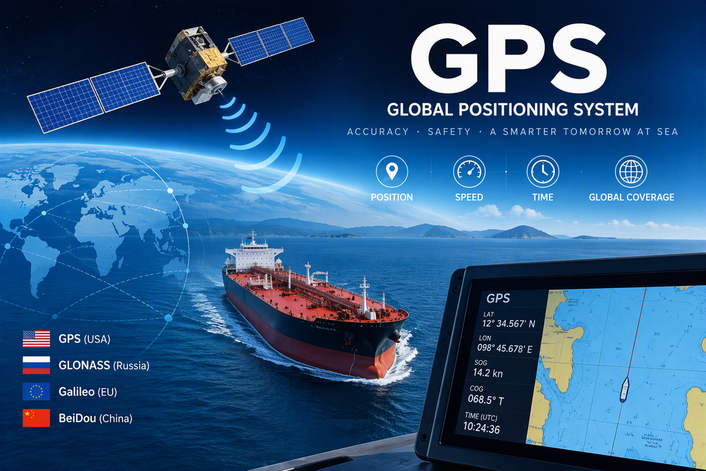
Global Navigation Satellite Systems (GNSS) in Maritime Navigation
Introduction
Global Navigation Satellite Systems (GNSS) have revolutionised modern maritime navigation by providing accurate, real-time positioning, velocity, and timing information anywhere on Earth. Modern vessels depend on GNSS for route monitoring, voyage planning, collision avoidance, electronic chart systems, and safe navigation in restricted waters.
The major global satellite navigation systems currently in operation are:
- GPS (United States)
- GLONASS (Russia)
- Galileo (European Union)
- BeiDou (China)
Together, these constellations provide worldwide coverage and improved navigational reliability.
What is GNSS?
GNSS is a satellite-based navigation system designed to determine:
- Position
- Velocity
- Precise Time (PVT)
The system works by receiving signals from multiple satellites and calculating the vessel’s location using precise distance measurements and mathematical algorithms.
IMO Requirements for Maritime GNSS
According to IMO performance standards, a shipborne GNSS receiver should:
- Detect GPS and GLONASS satellites.
- Provide position information referenced to WGS-84 datum.
- Automatically select suitable satellites.
- Provide outputs to other bridge equipment.
- Have a static accuracy of approximately 35 m in normal mode.
- Have a static accuracy of approximately 10 m in differential mode.
- Acquire position within 30 minutes without valid almanac data.
- Acquire position within 5 minutes when valid almanac data is available.
- Output a new position at least once every second.
Components of GNSS Signals
Each GNSS satellite transmits signals consisting of three important components:
1. Pseudo Random Noise (PRN) Code
Each satellite has a unique PRN code that identifies it. The receiver generates the same code internally and compares it with the incoming signal. When both match, the receiver successfully acquires the satellite.
2. Carrier Signal
The carrier signal acts as a transport medium for navigation data from the satellite to the receiver. By itself, it carries no navigational information.
3. Navigation Message
The navigation message contains:
- Ephemeris Data
- Almanac Data
- Satellite Health Status
- Time Information
GPS C/A Code and P-Code
C/A Code (Coarse Acquisition Code)
The C/A Code is the standard civilian ranging code transmitted on the GPS L1 frequency (1575.42 MHz).
Functions:
- Identifies satellites.
- Enables receiver acquisition.
- Used for civilian navigation.
- Forms the basis of standard GPS positioning.
How Does the Receiver Acquire the C/A Code?
The receiver generates an identical PRN code internally and continuously compares it with incoming signals.
Process:
Satellite Transmits C/A Code
↓
Receiver Generates Same PRN Code
↓
Code Correlation (Matching)
↓
Satellite Acquired
↓
Signal Transit Time Measured
↓
Pseudorange Calculated
When both codes match perfectly, the receiver knows which satellite is being received and can measure the travel time of the signal.
P-Code (Precise Code)
The P-Code is a high-precision ranging code primarily designed for authorised users.
Characteristics:
- Higher accuracy than C/A code.
- Transmitted on L1 and L2 frequencies.
- Very long code sequence.
- Used for Precise Positioning Service (PPS).
When encrypted, the P-Code becomes the Y-Code, preventing unauthorised access.
Comparison Between C/A Code and P-Code
| Feature | C/A Code | P-Code |
|---|---|---|
| Full Name | Coarse/Acquisition Code | Precise Code |
| Users | Civilian | Authorised Users |
| Frequency | L1 | L1 and L2 |
| Accuracy | Standard | Higher |
| Encryption | No | Encrypted as Y-Code |
| Main Purpose | Satellite Acquisition | Precision Positioning |
Ephemeris and Almanac Data
Ephemeris Data
Ephemeris data provides highly accurate orbital information for individual satellites. Once a receiver acquires a satellite, it downloads the ephemeris information required for precise position calculations.
Almanac Data
Almanac data contains lower-accuracy orbital information for the entire satellite constellation. It helps receivers determine which satellites should be visible above the horizon and significantly reduces acquisition time after startup.
The Three Segments of GNSS
1. Ground Segment
The Ground Segment consists of:
- Monitoring Stations
- Master Control Stations
Functions include:
- Monitoring satellite health
- Tracking satellite orbits
- Calculating orbital corrections
- Correcting satellite clock errors
- Uploading updated navigation data
2. Space Segment
The Space Segment consists of satellites orbiting the Earth.
Functions include:
- Receiving updates from ground stations
- Broadcasting navigation signals
- Providing global positioning coverage
3. User Segment
The User Segment consists of GNSS receivers installed onboard ships and other navigation platforms.
Functions include:
- Receiving satellite signals
- Calculating position
- Determining speed
- Providing precise timing
How GNSS Determines Position
GNSS determines position using a technique known as trilateration.
The receiver measures the travel time of a signal between the satellite and the receiver. Since radio waves travel at the speed of light, the distance can be calculated.
Pseudorange Formula
PR = c × (tr − ts)
Where:
- PR = Pseudorange
- c = Speed of light (3 × 10⁸ m/s)
- tr = Time of reception
- ts = Time of transmission
The calculated distance is called a pseudorange because it contains small errors caused by receiver clock inaccuracies.
Trilateration Equation
The receiver uses pseudoranges from several satellites to calculate its position.
PR = √[(x₁ − x)² + (y₁ − y)² + (z₁ − z)²] + cΔt
Where:
- PR = Measured pseudorange
- (x₁, y₁, z₁) = Satellite coordinates
- (x, y, z) = Receiver coordinates
- c = Speed of light
- Δt = Receiver clock correction
Unknown values are:
x, y, z and Δt
Therefore:
- 3 satellites are needed to determine position.
- A 4th satellite is required to correct receiver clock error.
Modern GNSS receivers typically track many satellites simultaneously for higher accuracy.
Differential GPS (DGPS)
DGPS provides greater positional accuracy than standard GNSS.
A reference station with a precisely known location calculates the difference between:
- Actual surveyed position
- GPS-derived position
The error is transmitted to nearby users who apply corrections to improve accuracy.
DGPS Correction Formula
Error = GPS Position − True Position
Corrected Position = GPS Position − Error
Using these corrections, position accuracy can improve to approximately 10 metres.
Satellite Based Augmentation System (SBAS)
SBAS operates on the same principle as DGPS but broadcasts correction data through geostationary satellites.
Benefits include:
- Wider coverage
- Better integrity
- Improved accuracy
- Enhanced reliability
Examples include WAAS, EGNOS, and GAGAN.(General industry examples)
Speed Determination Using Doppler Shift
GNSS receivers determine vessel speed using the Doppler Effect.
Doppler Principle
Relative Motion
↓
Frequency Shift
↓
Velocity Calculation
Satellites move at approximately 3900 m/s in orbit. The receiver measures slight frequency changes in the received signal caused by relative motion between the satellite and the vessel.
These measurements are used to determine:
- Speed Over Ground (SOG)
- Course Over Ground (COG)
Common Sources of GNSS Error
Ionospheric Delay
Changes in the ionosphere can slow signal propagation and affect position accuracy.
Tropospheric Delay
Atmospheric moisture and pressure can delay transmitted signals.
Receiver Clock Error
Shipboard receiver clocks are not as accurate as satellite atomic clocks.
Satellite Clock Error
Although satellites use atomic clocks, very small timing errors still exist.
Multipath Error
Signals reflected by water surfaces, ships, cranes, or structures can create inaccurate range measurements.
Poor Satellite Geometry (GDOP)
Unfavourable satellite positioning can reduce navigation accuracy.
Satellite Orbit Error
Deviation of a satellite from its predicted orbital path can introduce position errors.
Receiver Autonomous Integrity Monitoring (RAIM)
RAIM continuously checks the reliability of GNSS position solutions.
Modern receivers compare measurements from multiple satellites to identify inconsistencies.
RAIM SAFE
Position accuracy is within acceptable limits.
RAIM UNSAFE
Calculated accuracy exceeds preset limits.
RAIM CAUTION
Insufficient satellites are available to verify the integrity of the position solution.
RAIM is an important safety feature because it warns navigators when GNSS information may not be reliable.
Conclusion
Global Navigation Satellite Systems form the backbone of modern maritime navigation. By combining multiple satellite constellations, advanced position-fixing algorithms, differential corrections, and integrity monitoring systems, GNSS provides mariners with accurate and reliable navigation information. Understanding the principles, formulas, and limitations of GNSS is essential for every deck officer, navigator, and maritime professional operating in today’s technology-driven shipping industry.
Leave a Reply